teisipäev, 28. jaanuar 2014

Loomad erinevates loodusparkides Namiibias ja LAV-s/ Animals in different natural parks in Namibia and South Africa

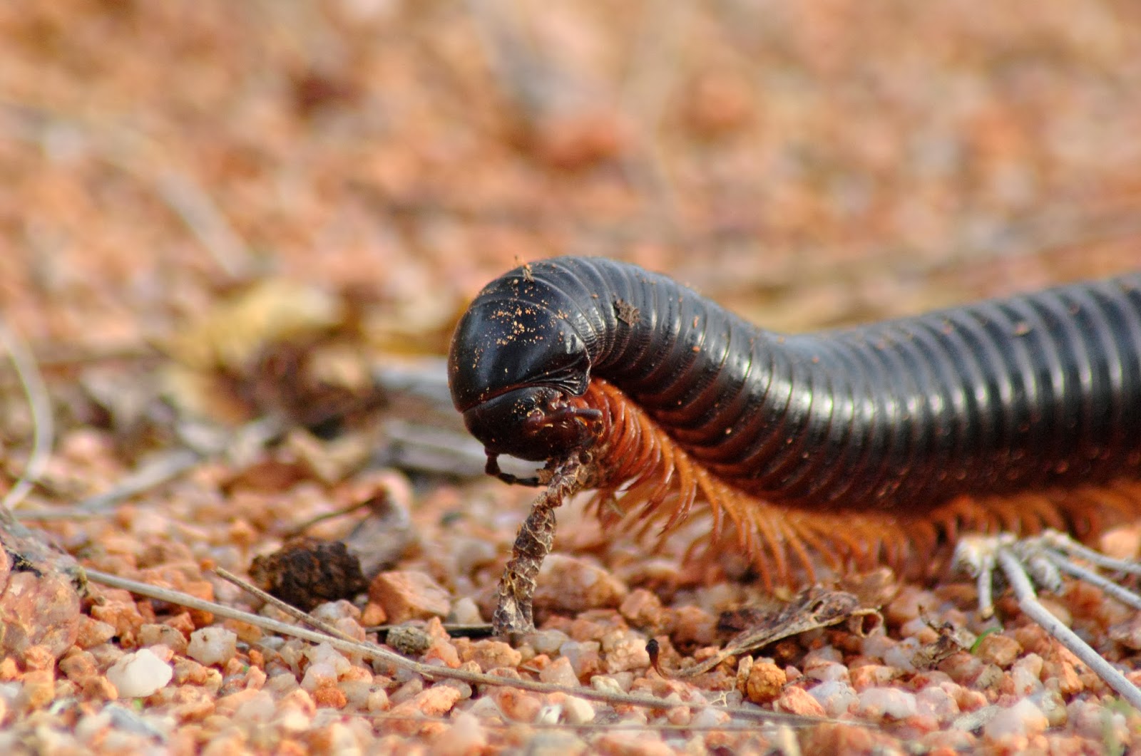
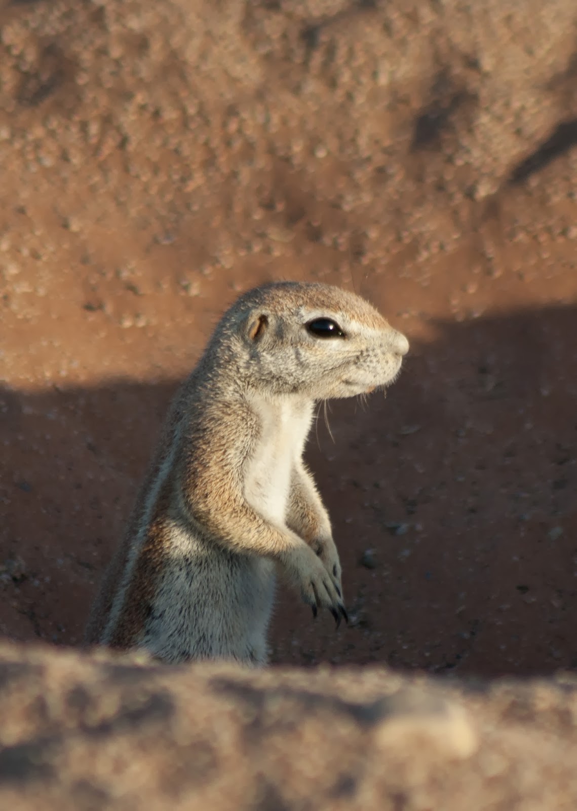
Nomad reisil Parim Namiibiast Windhoekist Kaplinna kohtasime erinevaid loomi. Paraku polnud parim aeg loomade pildistamiseks, sest alanud oli vihmaperiood ja loomad ei kogunenud enam veekogude äärde, kust neid oleks lihtne leida ja fotografeerida. Vett leidus pea kõikjal näiteks Etosha rahvuspargis. Teine kord olen targem.
Siin valik nähtust.

During Nomad camping tour Best of Namibia from Windhoek to Cape Town I met a variety of animals. Unfortunately was not the best time to take pictures of animals, because the rainy season had begun, and animals were no longer gathered near bodies of water where they can be easily found and photographed. The water was found almost everywhere in Etosha National Park. Another time I know better.
Here the choice of photos.


laupäev, 25. jaanuar 2014

Fish River Kanjon/ Fish River Canyon


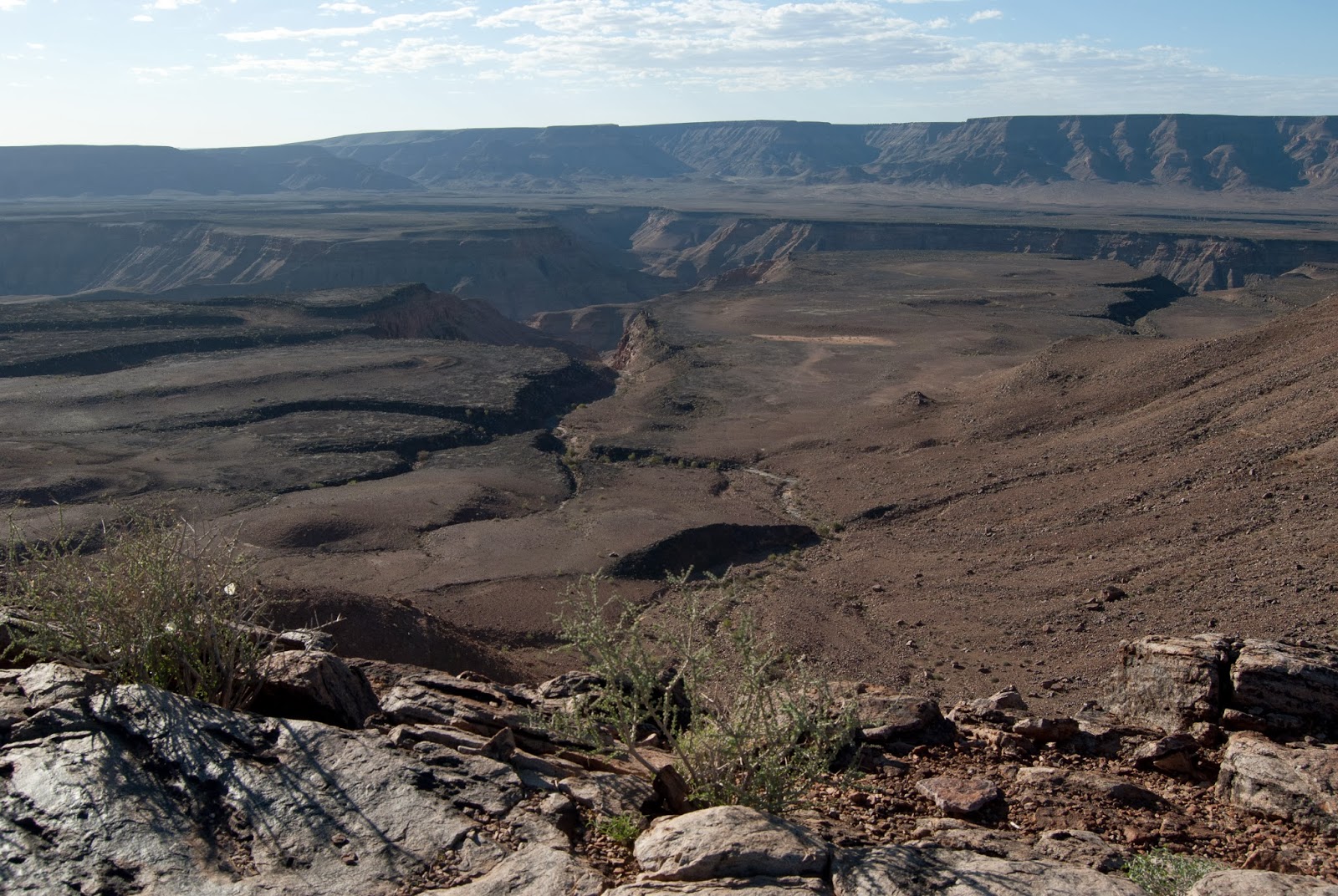
Fish River Canyon on suuruselt teine ​​kanjon maailmas ja suurim Aafrikas, samuti teine ​​kõige külastatavam turistiatraktsioon Namiibias. See on hiiglaslik kuristik, kokku umbes 160 km pikk, kuni 27 km lai ja kohati peaaegu 550 m sügav.
Fish River on pikim jõgi Namiibias, kuid selle vool on nüüd väike võrreldes tohutu kogusega varasematel aegadel. Vaated kanjonile olid aga vapustavad, eriti enne ja kohe pärast päikeseloojangut.

The Fish River Canyon is the second largest canyon in the world and the largest in Africa, as well as the second most visited tourist attraction in Namibia. It features a gigantic ravine, in total about 160 km long, up to 27 km wide and in places almost 550 m deep.
The Fish River is the longest interior river in Namibia but its flow is now a small trickle compared with the immense volume of water in ages past. The canyon views, however, were amazing, especially before and just after sunset.


esmaspäev, 20. jaanuar 2014

Sossusvlei & Deadvlei

Namiibia - Naukluft rahvuspark on onökoloogiline Namiibia kõrbe säilitusala . See on suurim park Aafrikas, mis hõlmab umbes 50000 km ² ja siia on kogunenud olendid, kes on kohanenud elama hüperkuivas piirkonnas, nagu maod , gekod, ebatavalised putukad, hüäänid ja šaakalid . Elu siin püsib  Atlandi udu ja kohatise vihmasaju tõttu. Tuul on tekitanud siia kõrguvaid liivaluiteid , kelle põlenud oranž värv on märk nende vanusest, mida tumedam, seda vanem.

Need luited on kõrgeimad maailmas; kuulsaim neist on Düün nr. 45 , mis ulatub üle 170 m. Luited nummerdati ära, et oleks piirkonnas lihtsam liikuda ja juhuslikult on Düün 45 ka 45 km kaugusel Sesriem kanjonist . Ja millised vaated! Eriti päikesetõusu ajal, kui selle otsas olime.

Külastasime ka Deadvlei orgu koos 900 aastat tagasi surnud puudega, mis endiselt seisavad ja on väga maalilised.

Fotod:

Namibia - Naukluft National Park in Namibia is ecological  wilderness preservation area. It is the largest park in Africa, covering about 50,000 km ² and has gathered here for the creatures that have adapted to live in hyper-dry region, such as snakes, geckos, unusual insects, hyenas and jackals. Life here remains of the Atlantic due to the fog and occasional rains. Wind is created here towering sand dunes, whose burnt orange color is a sign of age, the darker the parent. 

These dunes are the highest in the world, the most famous of them is the number Dune no. 45, which extends over 170 m. Dunes were numbered off that it would be easier to move to the area and randomly Dune 45 is also 45 km from Sesriem Canyon. And what views! Especially at sunrise. 

We also visited the Deadvlei valley 900 years ago with the dead trees that are still standing and is very scenic. 

Photos:


laupäev, 18. jaanuar 2014

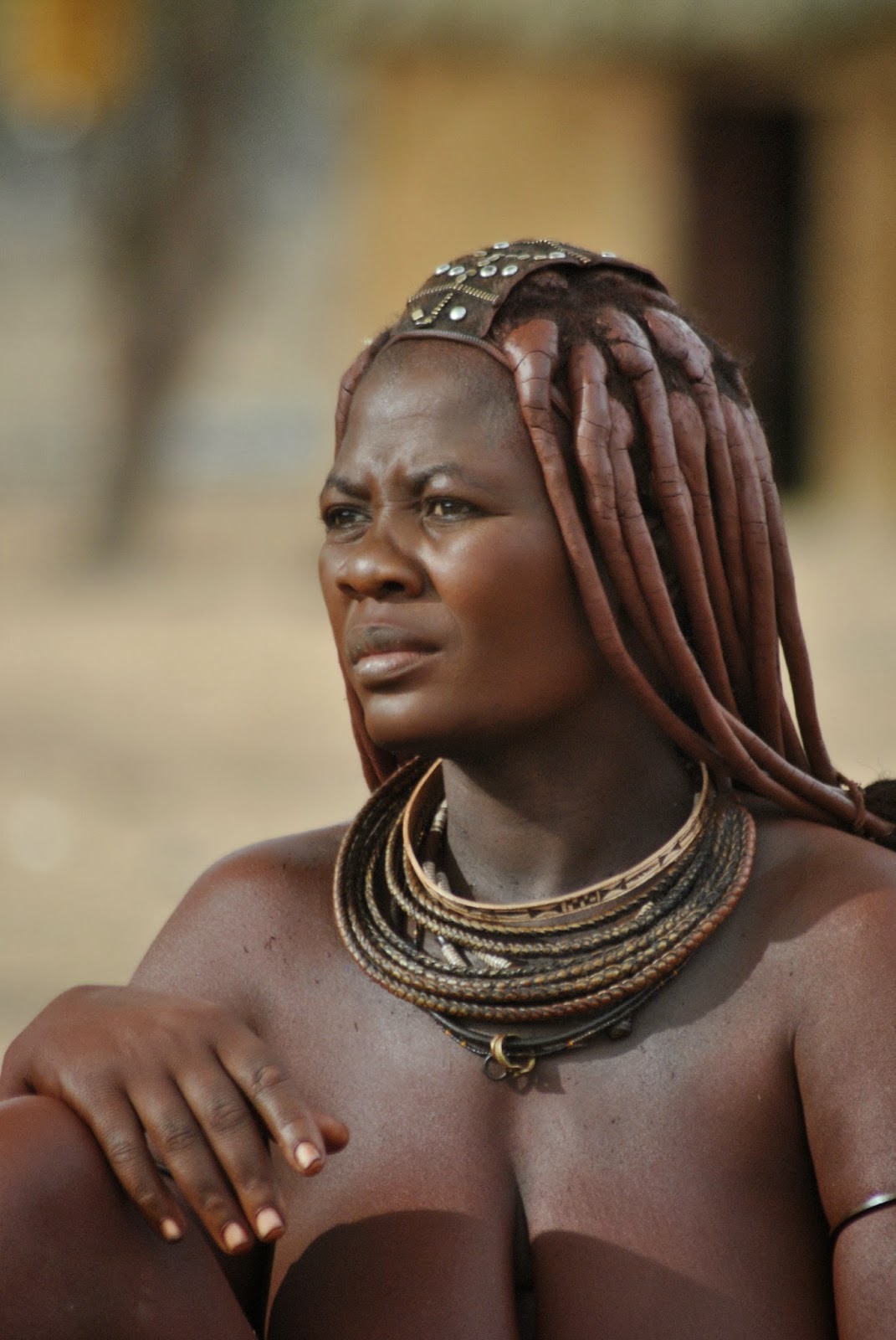
Himba küla rahvas/ Himba village people

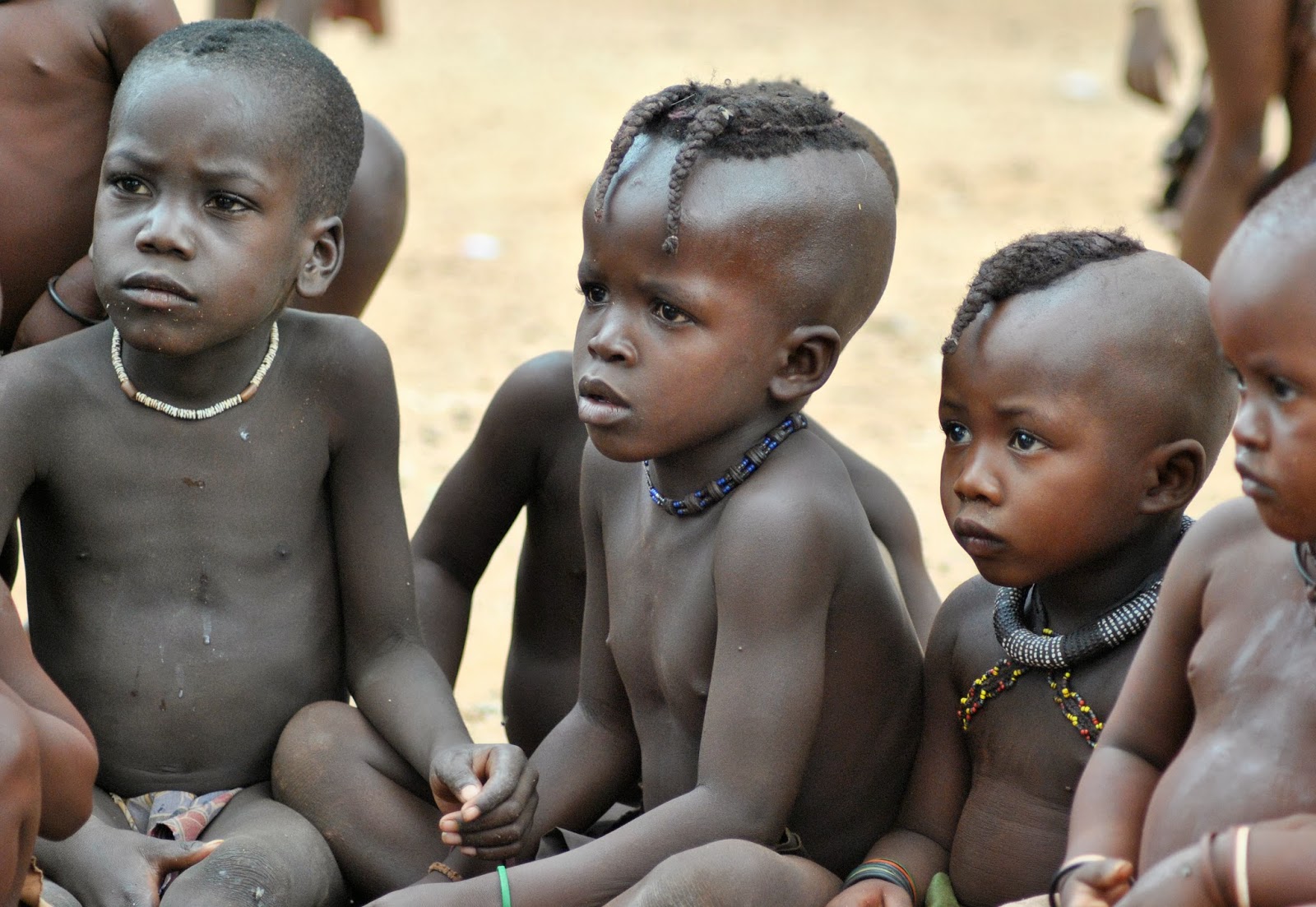
Himba küla rahvas on üks maailmas enim pildistatud rahvas. Pole ka ime, arvestades nende ülimalt eksootilist välimust ja kauneid näojooni.
Siin valik fotodest:

Himba village is one of the most photographed people in the world. No wonder, considering their highly exotic and beautiful appearance of the features on the face.
Here, the choice of photographs:


teisipäev, 14. jaanuar 2014

Spitzkoppe


Spitzkoppe

Spitzkoppe ( nimetatakse ka Spitzkop , Groot Spitzkop või" Matterhorn Namiibia " ) , on grupp paljaid graniidi kaljusid, mis asuvad Usakose ja Swakopmund vahel Namiibia kõrbes. Graniit on rohkem kui 700 miljonit aastat vana ning kõrgeim paljand tõuseb umbes 1 784 m üle merepinna. Piigid paistavad  järsult ümbritsevate tasandike vahelt. Kõrgeim tipp on umbes 700m kõrgune. Väike tipp -Little Spitzkoppe - asub lähedal kõrgusel 1 584 m üle merepinna. Muud kaljud valikus on tuntud kui Pontok Mountains. Paljud bušmani kunsti näited on maalitud  Spitzkoppe piirkonnas.

The Spitzkoppe (also referred to as Spitzkop, Groot Spitzkop, or the "Matterhorn of Namibia"), is a group of bald granite peaks located between Usakos and Swakopmund in the Namib desert. The granite is more than 700 million years old and the highest outcrop rises about 1 784 m above sea level. The peaks stand out dramatically from the flat surrounding plains. The highest peak is
about 700m above the floor of the desert below. A minor peak- the Little Spitzkoppe - lies nearby at an elevation of 1 584 m above sea level. Other prominences stretch out into a range known as the Pontok Mountains. Many examples of Bushman artwork can be seen painted on the rock in the Spitzkoppe area.

Fotod/Photos: